
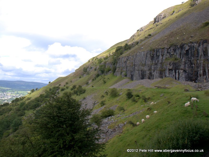
Eaten too much at the Food Festival? Walk it off here! This walk takes in the fascinating industrial landscape of the Llangattock escarpment and the beautiful Craig Y Cilau nature reserve. There’s an optional, more challenging section that includes the summit of Mynydd Llangatwg and makes the walk circular. The walk is just over 4 miles long.

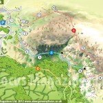
NB. On the map, North is NOT up
To Get there
Take the Crickhowell Road (A4077) out of Gilwern. After about 2 miles take the left marked with a small signpost for Heron’s Rest Marina. At the marina entrance, turn right. Follow the road and take the next left. Follow the narrow, winding road until the T junction with an industrial site on the left. Turn right. The car park is about half a mile down the road, on the left.
Google map centred on the car park
Directions
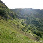
1

The start of the grassy track at point 1
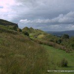
Go to the entrance of the car park and take the track that begins with a green, steel vehicle gate. The track gently climbs due west with the escarpment up on the left.
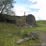
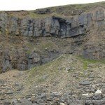
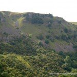
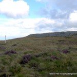
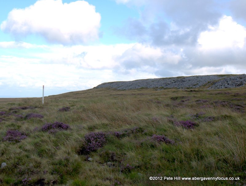
2

The ruined quarry building at point 2
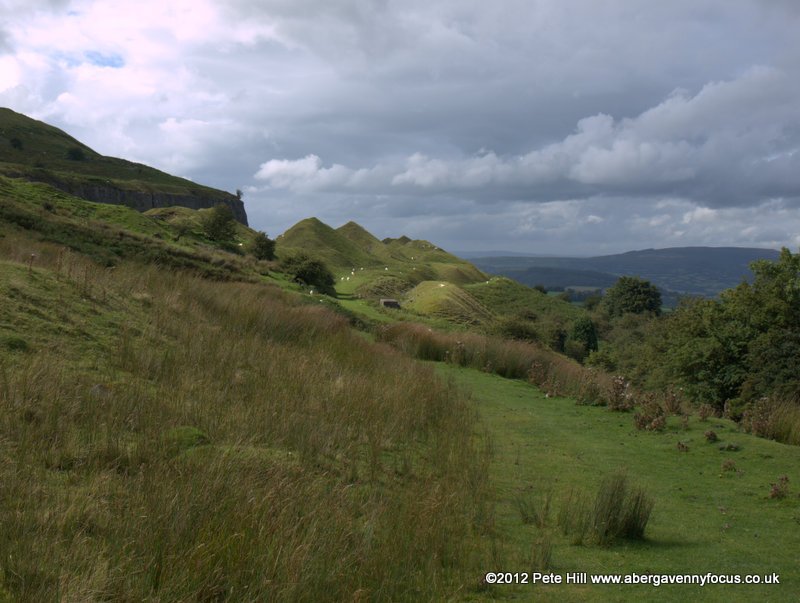
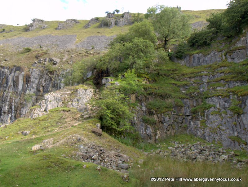
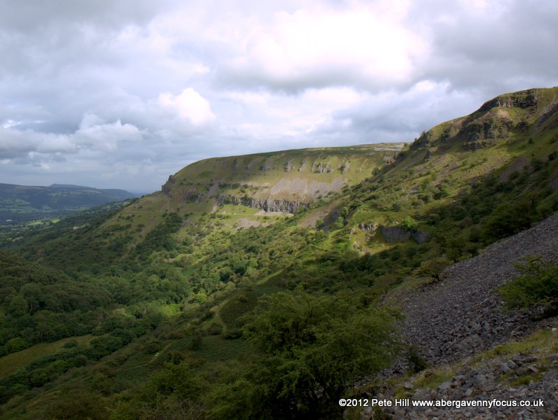
When you reach a ruined quarry building, continue past it and bear right to join a disused tramway travelling northwest: it’s fairly obvious when you see it, being broad, grassy and level. The tramway eventually leads between spoil heaps and up to the face of the escarpment at 3.
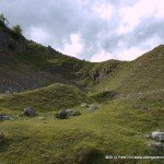
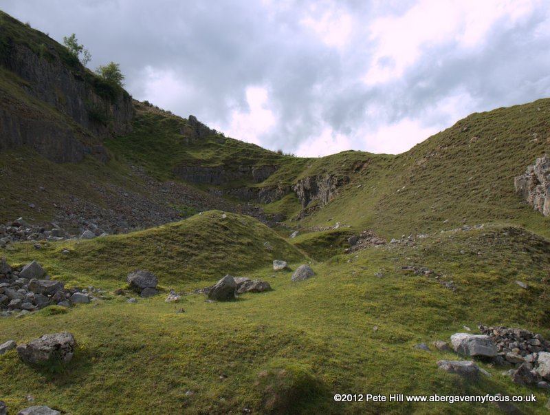
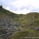
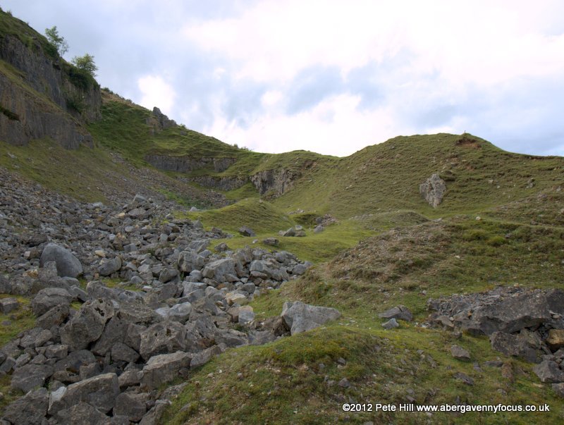
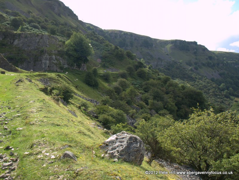
3

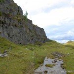
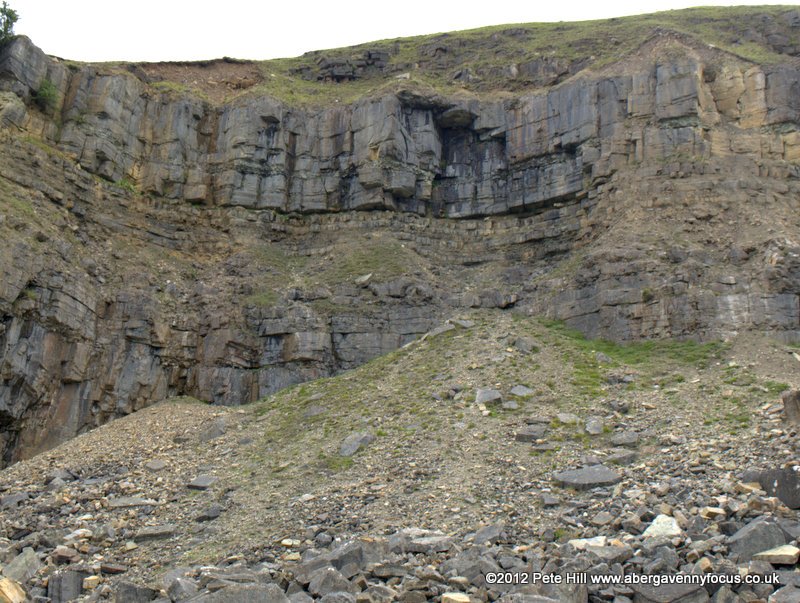
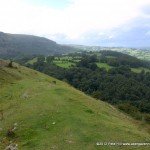
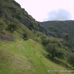
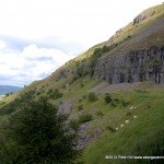
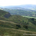
Walking along the foot of the escarpment
Now make your way along the escarpment, either up and down among the spoil heaps and boulders, or pick up the tramway a little way down the slope.
4

Woods in Craig y Cilau nature reserve
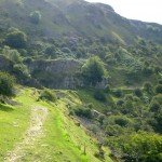
The route is about to round the corner into the natural amphitheatre of Craig Y Cilau but, before it does, the tramway peters out. Don’t worry; just continue following the line of the escarpment, but head downhill slightly. Before long you should intersect with the footpath at 5.
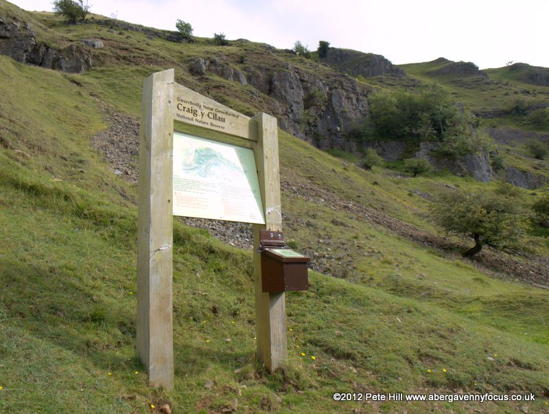
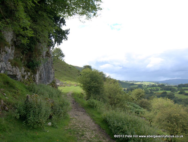
5

footpath into Craig y Cilau
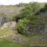
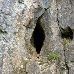
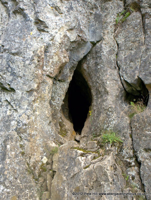
Here there is a National Nature Reserve sign with information and a map. Continue following the footpath round, passing the entrance to Eglwys Faen and Agen Allwedd caves on your left. They aren’t that easy to spot, in fact, using my eagle eyes I managed to miss both of them. Obviously, it goes without saying that you mustn’t enter any caves without the necessary equipment/experience/supervision. The end of this section is marked by a red ‘Danger: Falling Rocks’ sign.
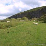
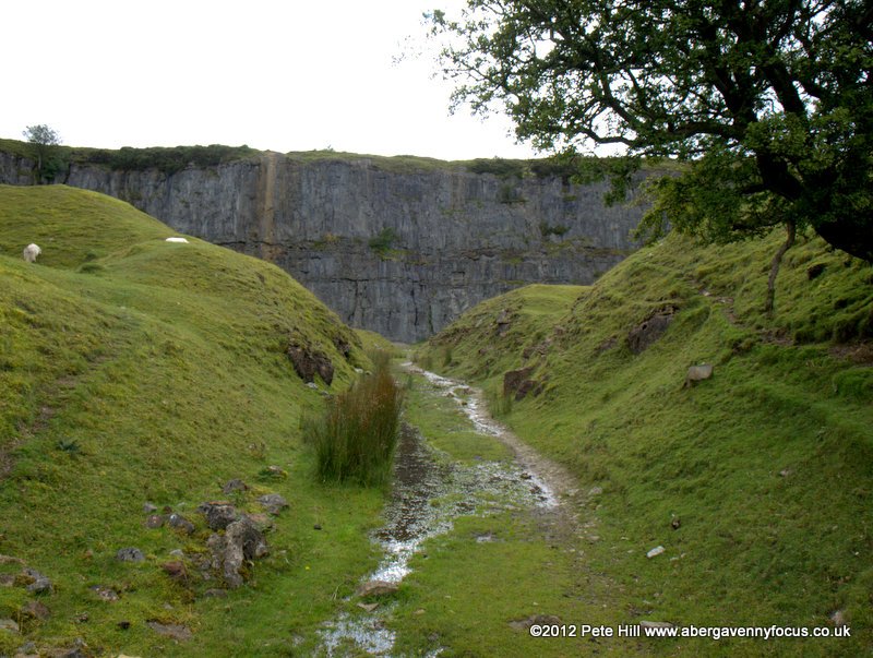
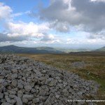
6

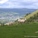
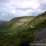
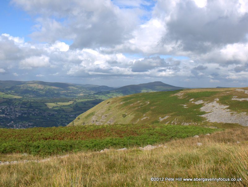
View west towards Llangynidr from point 6
Now a choice of ways: for an easy walk, turn around, and head back the way you came. If you are sure-footed and well booted you may want to do route B. When I went, the high ground was extremely boggy, uneven and pretty tough going. Maybe in drier spells it’s more pleasant, who knows? Maybe someone will write in and tell me. The initial climb up a scree covered slope is also rather steep and a little hairy, but probably only a minor concern for experienced walkers. I can’t vouch for route C, since I haven’t done it yet. It looks reasonable enough on the map though. In the September issue I said I’d try to find out before posting this, but I haven’t yet. If you want to try it, route C begins with a footpath sign pointing downhill just before 6.
Route B
7

The start of the scree slope at point 7
OK you intrepid walkers! Just beyond the falling rocks sign, the scree slope begins. Pick your way carefully up the far side of the scree, and then cross back to the left hand side where it seems safest to do so (I crossed about halfway up). Take in the view which is framed beautifully by the hanging valley in which you find yourself.
8

View back down the gully at point 8
At the top of the scree slope there are two gullies. Take the one, (with a small tree in it) on the right. Climb up on to the top, and search out the path/sheep track that leads back along the top of the escarpment. It’s not easy to find, so head off south/southeast and be mindful of the drop.
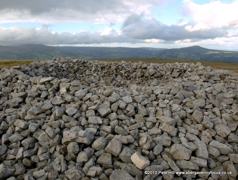
9

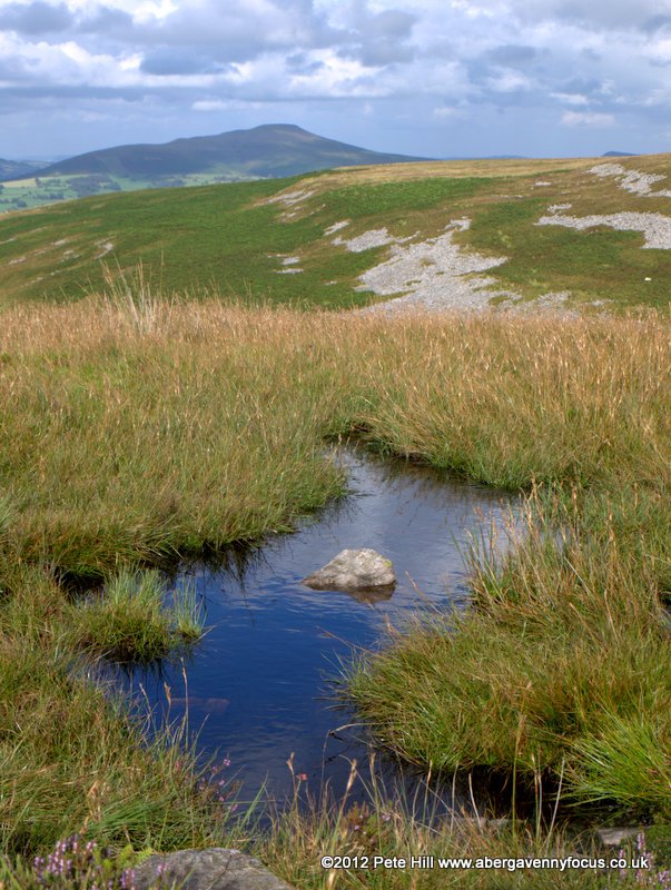
The summit of Mynydd Llangatwg from point 9.
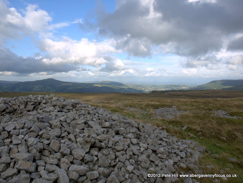
Eventually, you will approach a gully running north/south with a cairn on the opposite side. Bear right, away from the escarpment and parallel with the gully, making for the summit of Mynydd Llangatwg which looks like a low platform marked with rocky sides to the southeast. There is no path across the high ground here so watch your step. Head for the slightly lower right-hand end.
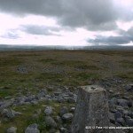
10

Approaching the summit of Mynydd Llangatwg
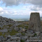
At the summit there are two massive bronze-age cairns, and all round views of Brynmawr and Ebbw Vale, Gilwern and Abergavenny, and the Black Mountains.
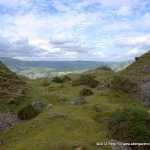
11

Coming back down at point 11
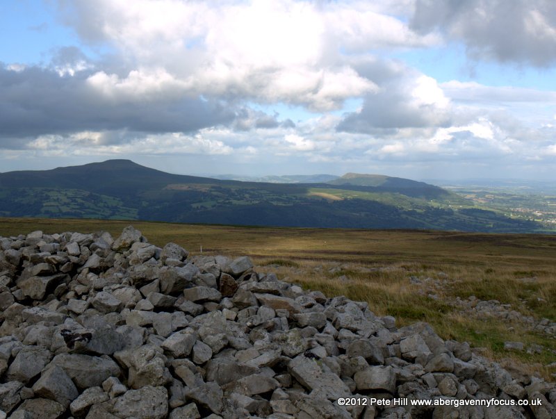
Now you need to go back across the high ground to a break in the escarpment – the difficulty is that you can’t see it from here. If you set off at right angles to the summit ridge, between the two gas pipeline marker poles, and aim for Pen Cerrig-calch, (the peak behind Crickhowell) you should arrive at a point where you can safely descend the escarpment, just above the ruined quarry building from the start of the walk. Now return along the path to the car park.
Gallery
-
- NB. Onthe map, North is NOT up
-
- The start of the grassy track at point 1

-

- The escarpment

-
- The ruined quarry building at point 2
-
- The post industrial landscape of Llangattock escarpment

-
- Spoil heaps and Crickhowell

-
- Among the spoil heaps
-
- At top left is the route down after point 11
-
- The tramway leads to spoil heaps at point 3
-
- Sugarloaf and sheep

-

- Approaching the escarpment at point 3.
-
- Walking along the foot of the escarpment
-
- Cliff face at the Llangattock escarpment
-
- A rainbow over Crickhowell & Llangattock

-
- Woods in Craig y Cilau nature reserve
-
- footpath into Craig y Cilau
-

- The information board at point 5
-
- Footpath into Craig y Cilau

-
- Craig y Cilau

-
- The scree slope at point 7 in the distance

-

- Craig y Cliau nature reserve

-

- The beautiful view into the reserve
-

- The footpath
-
- I think maybe Eglwys Faen is up that slope
-
- Sheep and Crickhowell

-
- View back along the cliffs
-
- Another hole in the limestone
-
- Is this Eglwys Faen – or just a hole? Someone let us know!

-
- View west towards Llangynidr from point 6
-

- The start of the scree slope at point 7
-
- Craig y Cilau from halfway up the scree slope
-
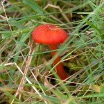
- Can any mycologists identify this?

-

- View back down the gully at point 8
-

- The view from point 8
-
- It was boggy at the top
-
- The summit of Mynydd Llangatwg from point 9.
-
- The gas pipeline marker, and the summit beyond
-

- Approaching the summit of Mynydd Llangatwg
-
- Cairn with Sugarloaf and Skirrid
-
- Trig point with Bryn Mawr and Ebbw Vale

-

- Bronze age Cairn with Pen Cerrig-calch and Sugarloaf
-
- Cairn with Gilwern and Abergavenny
-
- the trig point at point 10

-
- The spoil heaps at point 3 as viewed from above

-

- Coming back down at point 11
Have you done the walk? Tell us what you thought of it, and send us your pictures too!
