
Click to download a high resolution version
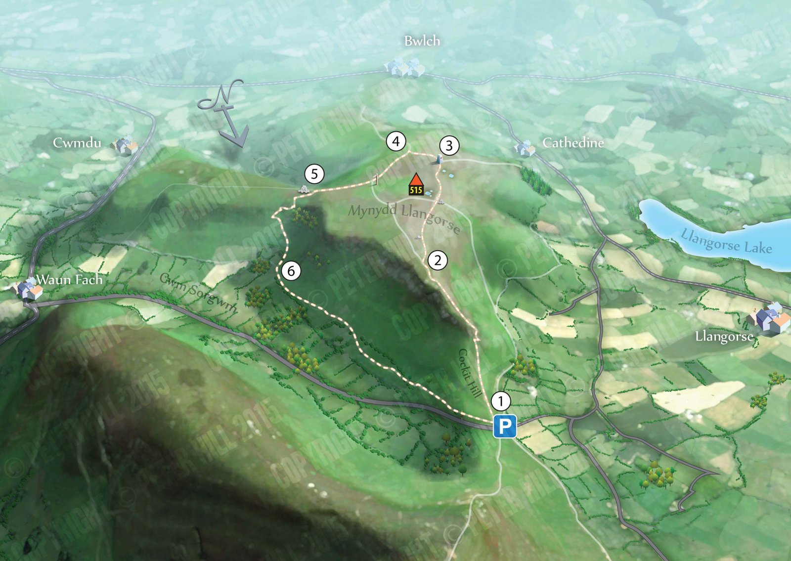
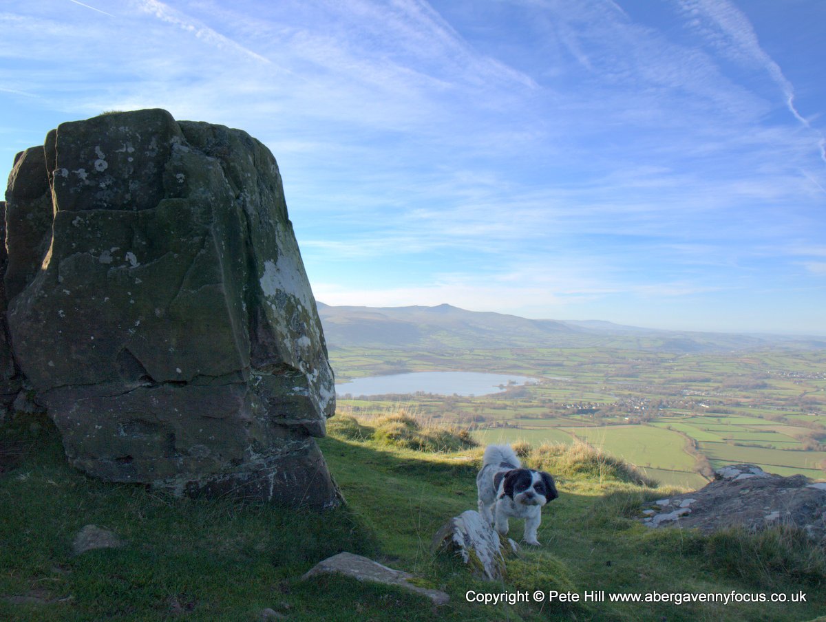
This circular walk over Mynydd Llangorse is walk is all about the views. For the first half of the walk Llangorse lake glistens below and the Beacons loom off to the west. The second half takes in the sweep of the Usk Valley and the main mass of the Black Mountains, topped by the distinctive ridge of Pen Allt-mawr. The walk is 4 miles long, with a fair climb at the start.
To Get there
From Abergavenny take the A40 West. After Crickhowell, at the Nantyffin Cider Mill, turn right on to the A479 to Waun Fach. Immediately after the bridge, turn left (past the red telephone box). Follow the narrow road uphill for about 2 miles, passing through a gate and over a cattle grid, until you reach the crest. There is parking here for 2 or 3 cars.
This Google map is centred on the car park.
1
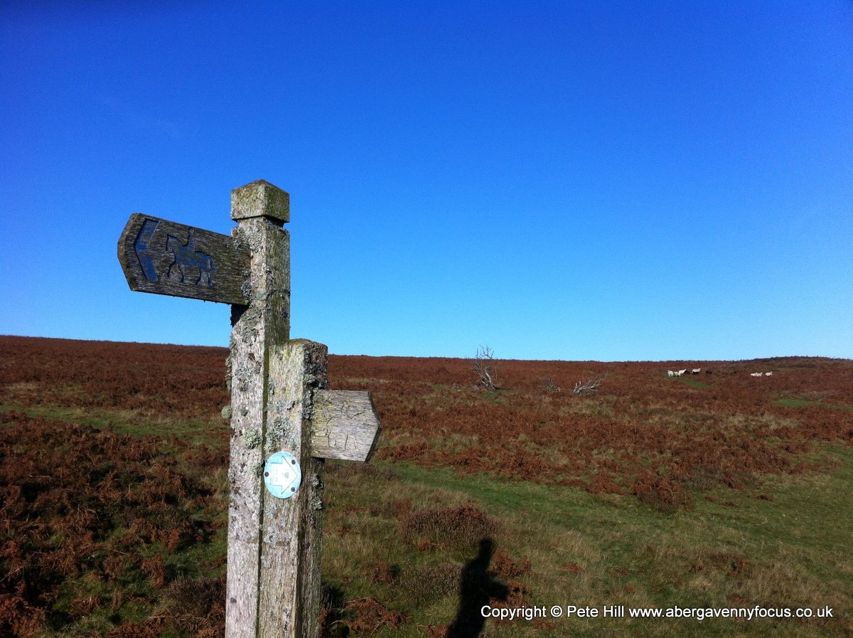
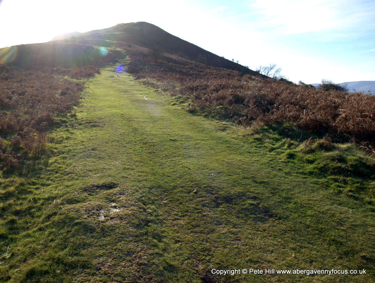 From the car park, set off up the broad, grassy path. A bridleway sign to Cathedine points the way. Although the climb up Cockitt Hill isn’t extremely steep, it is a bit of a slog – but you are rewarded all the way up with a great view of Llangorse lake. The rocky outcrop and mounds here are thought to have been defended as an Iron Age hillfort.
 2
2

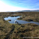
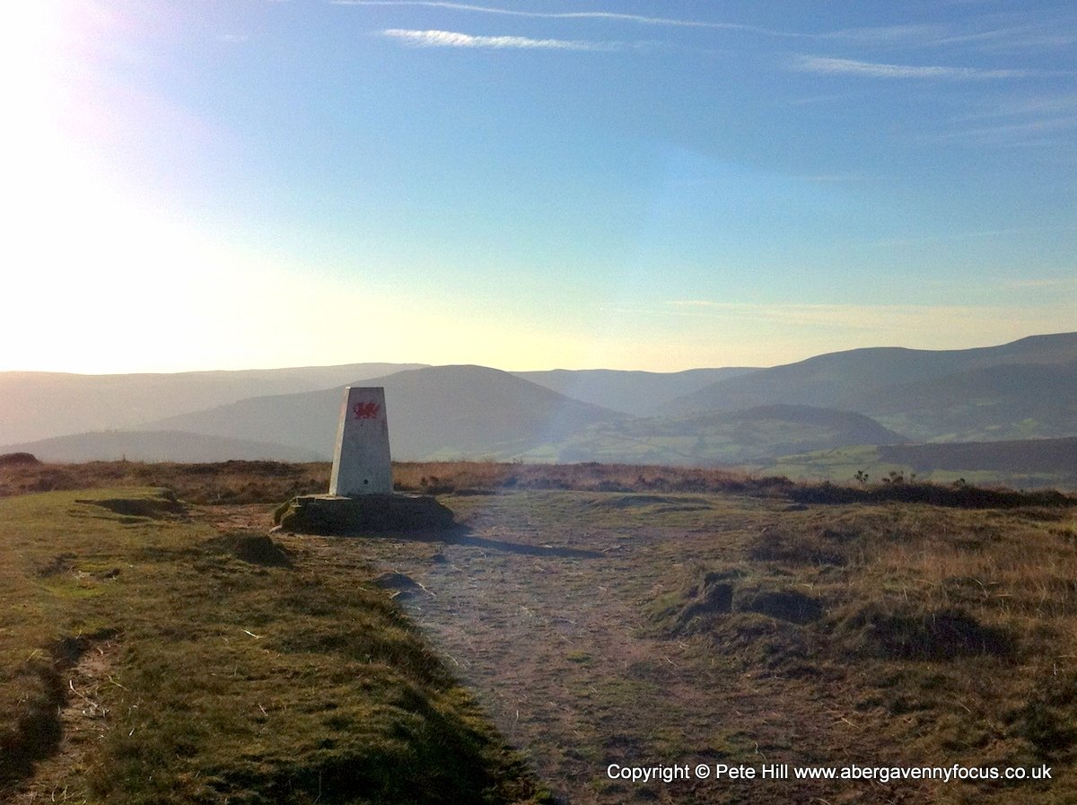
When the ground starts to level out, the path splits. When it does, take the right-hand fork. Continue along past a distinctive boulder, a cairn, some pools and eventually to a trig point.
3
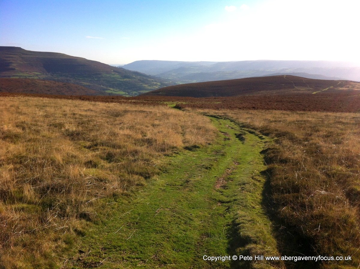
Take the path that continues straight on beyond the trig point. Go downhill for about 500 yards until you reach a T junction with another broad grassy track. Turn left on to it.
4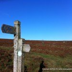
Follow the track, past a spring, and on until you reach a another junction marked with a bridleway signpost. Turn right here.
5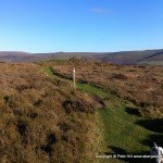
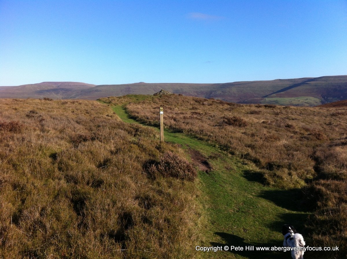
When you see a large cairn, (which is an ancient burial cairn with a more modern cairn on top), bear left in front of it. The path now steeply descends into Cwm Sorgwm below. Follow the path, (ignoring a bridleway sign that points right halfway down) to the field boundaries.
6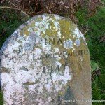
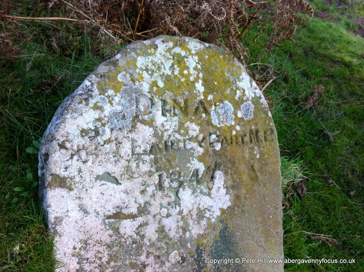
At the bottom, turn left onto the track that skirts around the bottom of the hill and along the tops of the fields. Now, follow the path, taking the left hand option whenever it splits – this should prevent you from losing any height unnecessarily. At one of these splits, you’ll see a boundary stone inscribed, ‘DINAS. Sir J Bailey Bart MP 1847’. This marked the boundary between the Dinas estate and the estate of Sir Joseph Bailey who owned the Nantyglo Ironworks in the 1800s, and lived at Glanusk Park. Eventually, you will arrive back at the car park.
