

This month’s walk is likely to be familiar to residents of Crickhowell, being that it is right on their doorstep.

Click on this image to download a high-resolution version.
The level top of Crug Hywel is quite unusual; you can see why it’s called Table Mountain and also why your average Iron age chieften might want to put a fort there.
The walk as described here is a little under 3.5 miles long. If you’re driving to it however, it can be up to 5 miles depending on where you park (5 miles is to Crickhowell carpark and back).
As always, wear suitable walking boots. Directions are overleaf.
Map is for illustrative purposes only. For an accurate map refer to OS Map OL13. Instructions are intended as a guide only. We do not take responsibilty for errors or omissions.
Google Map
The map is centred on the start of the walk.

1. The walk begins above Crickhowell on Llanbedr Road, opposite an electrical sub-station. Ignore the gated farm lane here, and take the tree lined bridleway to the left of it. Follow the path until you reach a right hand turning (about 500 yards). Take this turning and follow the path uphill.

2. When you reach the second set of overhead cables, follow the path as it bears left. After a short distance, go through a metal gate.

3. The path follows Cumbeth brook in a wooded gully. Turn right on to it, and follow the path uphill.

4. After about half a mile, you will need to cross the brook to an open grassy area. Continue to follow the brook on the other side. At a stone wall, follow the stone path alongside the stream to a sheepfold, (a series of enclosures).

5. Take the path out of the north side of the sheepfold, on to open access land, and follow the stone wall uphill. The path bears right, towards Table Mountain and mostly follows the stone wall. This is the steep bit!
6. Climb the peak, and admire the view! The earthworks of the ancient hill fort are clearly visible. You’ll see two cairns. Head for the second one, and leave the hillfort via a depression on its eastern flank. Follow the path downhill, and when it reaches the more defined path that goes round the hill, turn right.

7. Follow the path back around the front of the hill, and down into the corner of the field.

8. Go over the stile here, along a short track and over a second stile to the left. From here the path follows the field boundary downhill through 3 fields, (through a gate, and over two stiles).
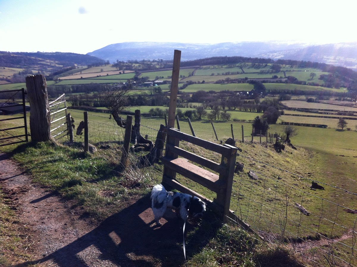
9. At the third stile, the path enters a tree-lined passage. Follow this to the end and go over the stile.

10. At this point it’s tempting to follow the tracks down to the gate at the bottom of the field, but the landowners are keen that walkers turn left and keep to the field edge. Do this and make your way to the bottom.
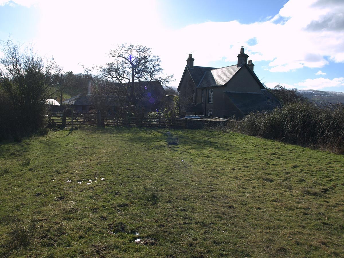
11. Pass the house (Ty yn y Wlad) and go through the gate onto the road. Turn right and follow the road back to the start.


Thanks for share of the great photos of table mountain , and lovely walks ,I miss the great mountains around Abergavenny / crickhowell,