
This month our walk is a stroll through lanes and fields, a climb up hills with views, and a ramble through pretty woodland. It takes in a nature reserve and an ancient hill fort. It’s just over 5 miles long and, while none of it is particularly arduous, you should dress for mud and undergrowth.

Click for high resolution map for printing
To get there:
Take the Hereford Road (A465) out of Abergavenny. Turn off at Llanvihangel Crucorney and take the first left after the Skirrid Inn. Continue past Stanton. Just after the Queens Head Inn, there is a small car park on the left. There may be a charge for parking here, so bring some coins with you.
Google Map
This map is centred on the car park.
View Larger Map
Directions
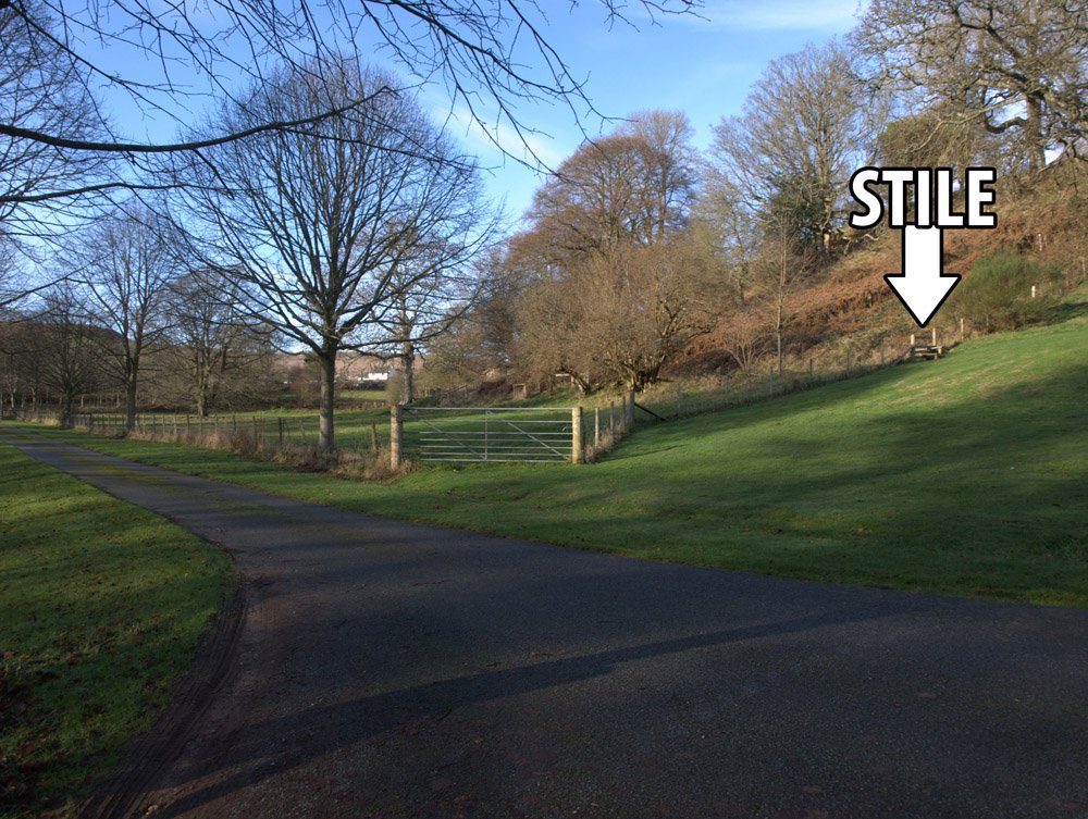
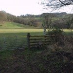
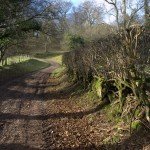
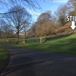
Stile at stage 1
1
Leave the car park and walk towards the Inn, turning left just before you reach it. Cross the bridge over the Afon Honddu, then go over the stile on the right.
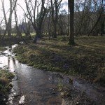
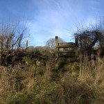
The copse in stage 2
2
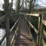
Following the river at first, walk to a small wooden footbridge and stile, across the next field to a copse of trees with the river passing through it. Follow the line of the river until you reach a wooden footbridge that crosses it.
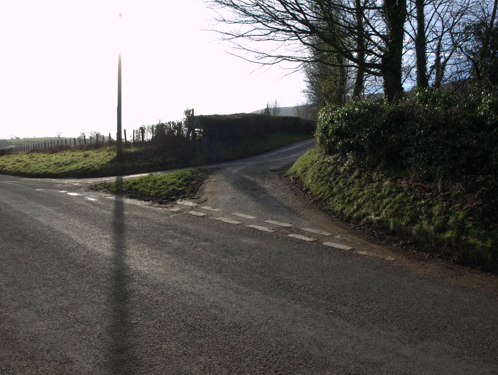
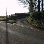
Crossing the road in stage 3
3
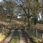
Cross the bridge, and cross the road beyond it. Continue in a south westerly direction along a lane. Pass through Stanton Manor Farm and continue along the track.
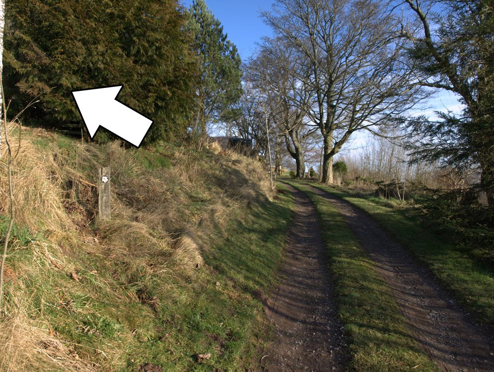
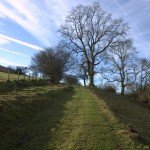
Go right when the track forks (4)
4
Pass through a metal gate and then go right when the track forks. Continue uphill along the track

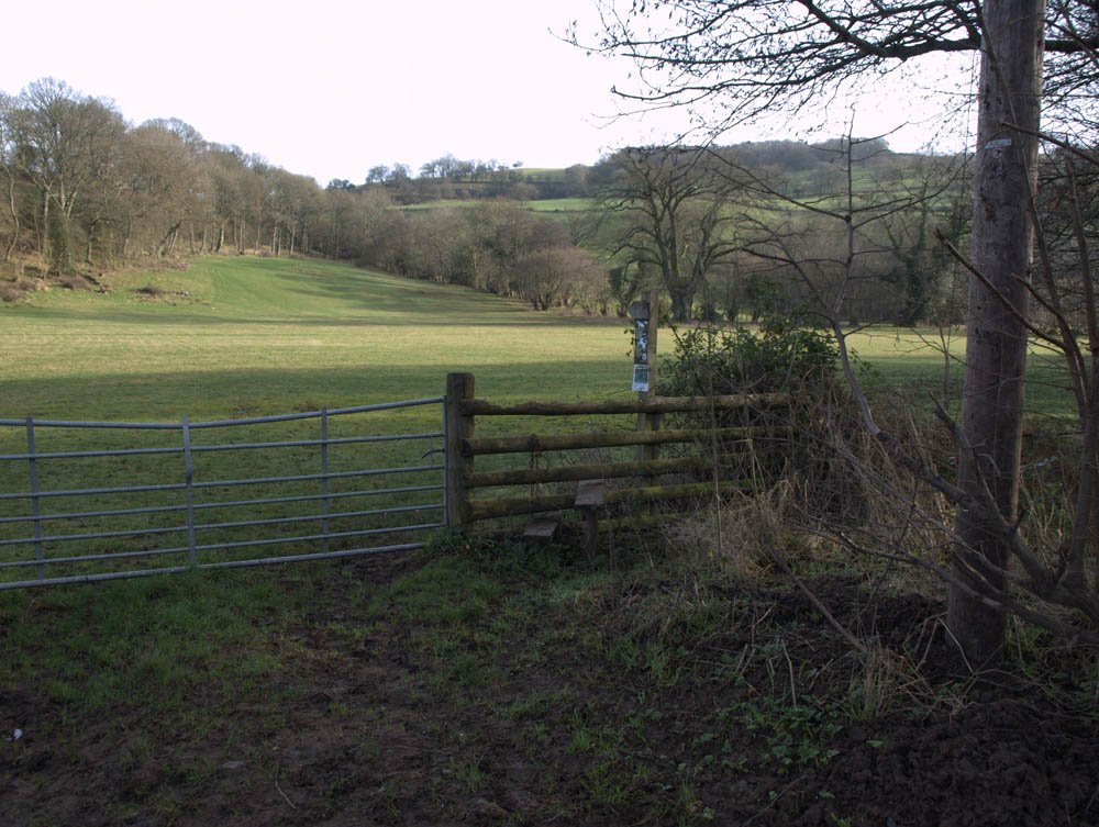
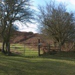
Go through this gate in stage 5
5
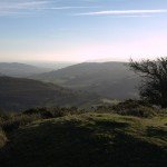
Pass through a metal gate onto the open access land of Bryn Arw. Follow the path for about half a mile. Pass through a gate and stile and continue down the track.
The track that doubles back, downhill at stage 6
6
After 260m Look out for a track on the right that doubles back down the hill. If you get to a farm, you’ve missed it!
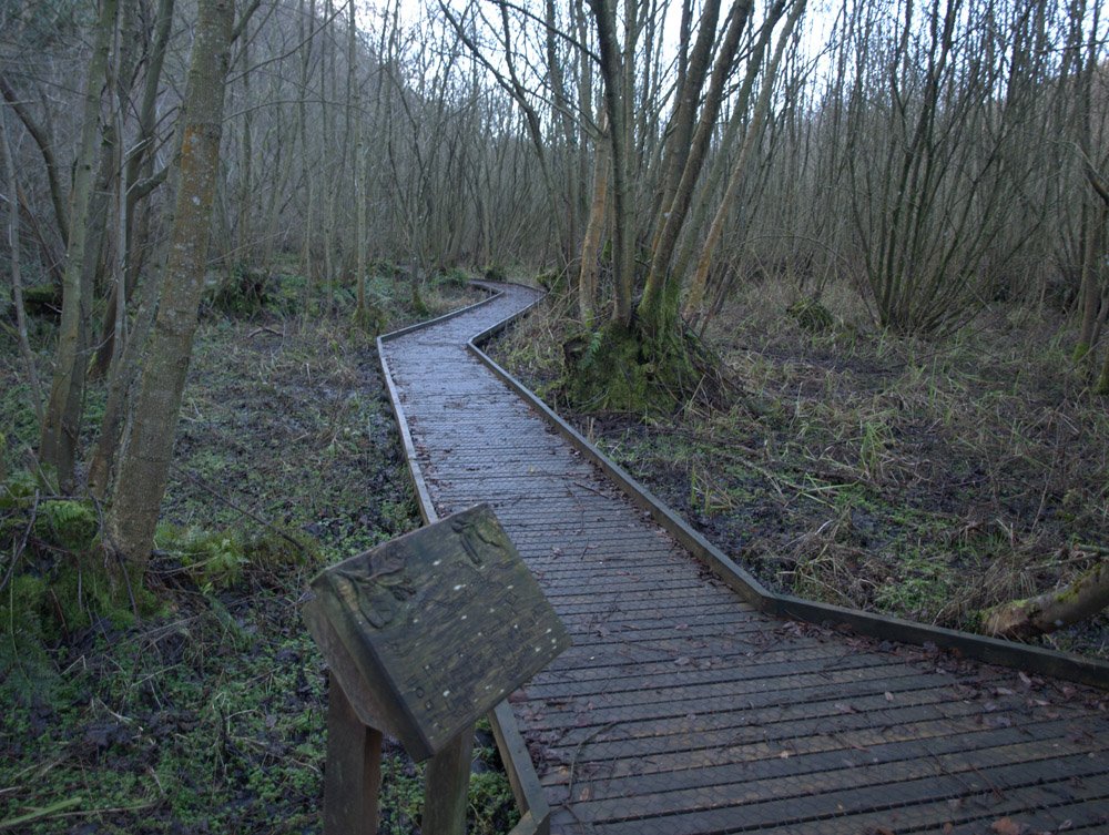
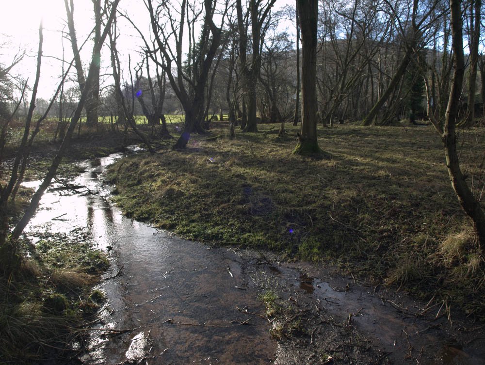
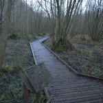
The boardwalk in the Coed-y-Cerrig nature reserve (7)
7
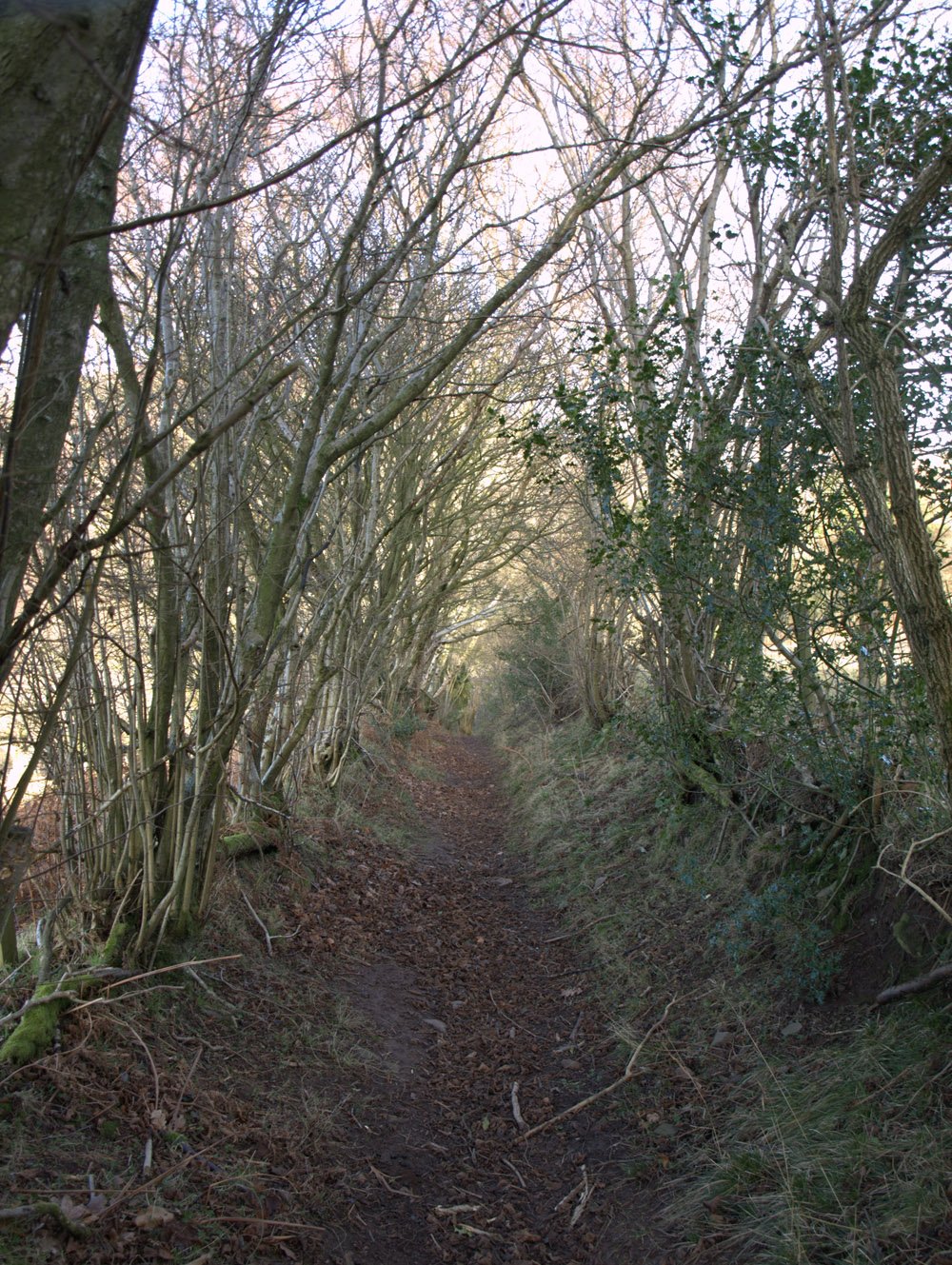
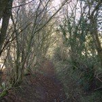
The track will take you past the Coed-y-Cerrig nature reserve, which has a raised wooden boardwalk going through it – maybe worth a look if you’ve plenty of time. Continue along the track to the road. Turn left onto it, and walk a short way. Go over the stile on the right and follow the path (difficult to do in places) as it travels uphill through the woods.
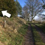
Location of the stile after The Pant
8
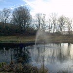
Go over the stile and out of the wood at the top of the path. The footpath now passes along the left hand boundary of The Pant (a private property) past a pond which is shaped like a whale if you look carefully (or on Google Maps). Go over a stile and past the houses. Don’t exit via the driveway however; cross it and go over the stile on the other side.

The stile at stage 9 – New Inn Farm
9
Follow the footpath to a junction of farm tracks. Immediately ahead of you is a stile in the hedge, but it’s easy to miss it. Cross this, and continue through New Inn Farm, passing the farm buildings on your left.

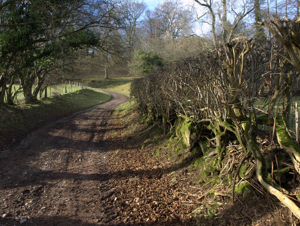
Going through the woods at (10)
10
Join the metalled road and turn right up the hill. When the track forks, take the right hand route which travels uphill, and through a small wood. Go past an old caravan (if it’s still there) and along the track towards Gaer Farm.
Location of the footpath at (11)
11
The OS map shows the footpath going straight through the farmhouse buildings, however it has been re-routed; immediately after the gate to Gaer Farm, the footpath goes hard left, up through trees and undergrowth – the path is not really discernable but there is a marker, so keep your eyes peeled. Go left through a metal gate and follow the track round to the left.

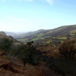
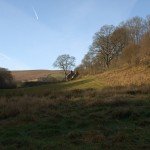
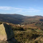
The view from the hillfort (12)
12
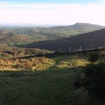
When you reach a group of trees and a stone wall on the left, you should be level with the hill fort, so turn right and scramble up the hill to the top and to the trig point, (or if you don’t feel like scrambling, follow the path until it meets another that doubles back to the top – 12b). The earthworks of the hill fort are clearly visible and the view from here is great. It’s easy to see why you’d want your fort here!

The eastward track leaving the hillfort (13)
13
When you’ve finished admiring the view, leave via the track that leads east. The track meets a boundary wall and bears round to the left. Follow this path until you get to the road/track. Turn right on to it and enjoy an easy stroll for a mile, all the way down the hill and back to the car park.
Gallery
-
- Stile at stage 1
-
- The copse in stage 2
-
- Wooden Footbridge (3)
-
- Crossing the road in stage 3
-
- Go right when the track forks (4)
-
- Continue uphill along the track (4)
-
- Go through this gate in stage 5
-
- The view from Bryn Arw
-
- The track that doubles back, downhill at stage 6
-
- The boardwalk in the Coed-y-Cerrig nature reserve (7)
-
- Emerging from the wood at (8)
-
- The Whale shaped pond at The Pant
-
- Location of the stile after The Pant
-
- The stile at stage 9 – New Inn Farm
-

- Join the metalled road and turn right up the hill (10)
-
- Going through the woods at (10)
-
- Location of the footpath at (11)
-

- Cairn at the hillfort (12)
-
- The view from the hillfort (12)
-
- View towards Abergavenny (12)
-

- View to Llanthony Valley
-
- The eastward track leaving the hillfort (13)

Have just done this walk with my three friends and throughly enloyed .
Very glad to hear it Allison – were all the directions clear?