
A nice simple walk this month. If the weather is good, this route would be ideal for a Boxing Day walk.

Click for a large, printable version
Being less than 3 miles long it’s suitable for all the family – although if your family aren’t feeling very energetic, you can make it even shorter by following route B. There’s fantastic views either way of course. The top of the Blorenge can be quite muddy – so dress for this!
To get there
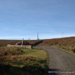
From Govilon, drive up the B4246 towards Blaenavon. After passing the Keepers Pond car park, take the next left. For the short route, park in the ‘Foxhunter’ car park beside the radio masts. For the circular route, continue down the hill for about half a mile, where there is another small car park on the right.
Google Map Centred on the small car park
Route A
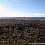
1.

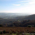
The view from the small car park
Leave the car park, and walk downhill along the road.
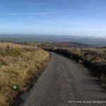
2.

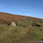
The start of the track at point 2
After about 400 metres turn left onto the track with a green, steel gate across it. Continue along the track as it rises gently, taking in views across the countryside towards Monmouth.
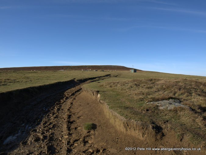
3.

The view of Abergavenny from point 3
After about 3/4s of a mile, you will reach the ‘prow’ of the Blorenge, with a fantastic view across Abergavenny. The track bears left past a small hut and uphill. Follow the track to the summit. This is where it can get very muddy.
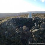
4.
")
The ancient cairn and trig point (Point 4)
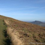
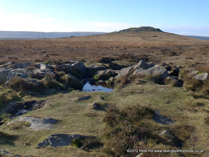
At the summit, you get a great view up the Usk valley. When you’ve finished admiring it, continue on the track towards the radio masts.
5.

Walking back to the small car park
When you reach the Foxhunter car park, turn left down the road, and continue on back to the small car park.
Route B
Simply walk from the Foxhunter car park, along the track to the summit and back. It’s only 1.5 miles in total. The track is good underfoot and has very little climb.
Gallery
-
- The small car park

-
- The view from the small car park
-
- The start of the track at point 2
-
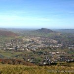
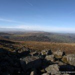
- The Skirrid from the Blorenge

-
- The small hut at point 3
-
- The view of Abergavenny from point 3
-
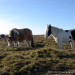
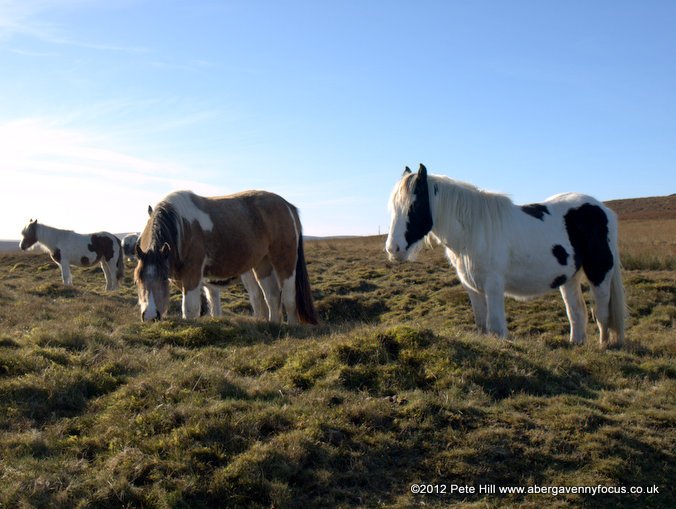
- Ponies on top of the Blorenge
-
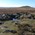
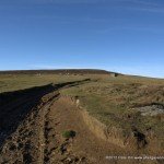
- Approaching the summit points 3-4
-
- View of the Usk valley from the summit (point 4)

-
- The ancient cairn and trig point (Point 4)
-
- Walking towards the masts (point 5)

-
- Walking back to the small car park
-

- Click for a large, printable version
