
Summer is a marvellous time to walk one our most distinctive mountains, the Sugar Loaf.

Although there are some steep climbs, this walk includes plenty of level walking, and a beautiful wood in which to cool off. The circular part of the walk can be done in either direction; the route described here will give you fabulous views North, across the Black Mountains as you descend. Doing it in reverse will allow you to appreciate Abergavenny and the Blorenge – although that portion is steep, so you might well be watching your feet instead!

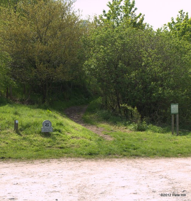
Leave Abergavenny on the Old Hereford road. At Pantygelli, after the pub but before the garage, turn left on to the narrow road signposted for Forest Coal Pit. About a mile down the road is the hamlet of Bettws. Pass through, and continue about half a mile more, to the small car park which is on the left.
Distance: 4.8 miles
Climb: 368m
1

At the rear of the car park, a path leads to a kissing gate. Go through this and immediately turn left, following the track as it slowly climbs. The hedge on your left becomes a stone wall. Keep following the wall, ignoring any gates in it, as it climbs the hill, skirting Blaenawey farm.
2 

The wall corners to the left at some prominent trees. Continue to follow the wall, (ignoring the fork that leads off to the right; that is your return path) until it eventually curves off to the left following the contour of the hill. The track continues straight on up.
3

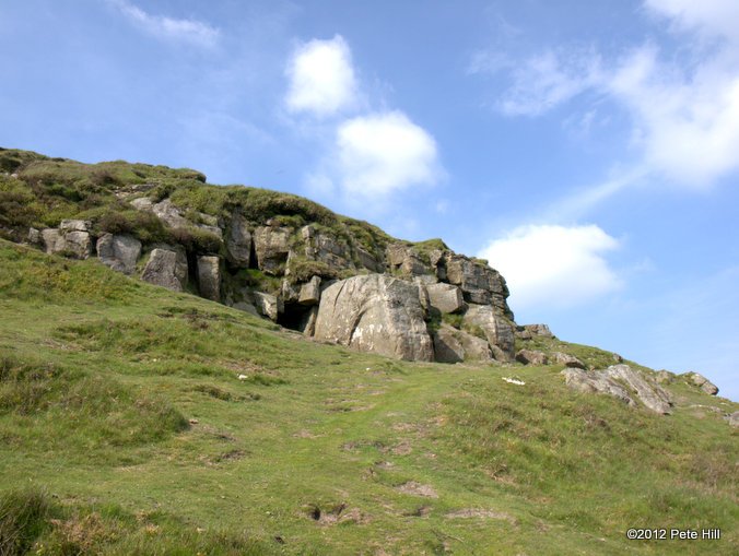
Near the crest of the hill, the track forks. Take the left hand path that leads to the corner of Parc Lodge woods. When you see the gate and stile, head for it. There is a National Trust plaque so you’ll know that you’ve got the right one.
4

Follow the track through the open woodland. Cross a stream. Now the woods open out, the track forks; downhill to the left and straight on through a gate. Go through the gate and follow the track, over another stream and then across an open field.
5

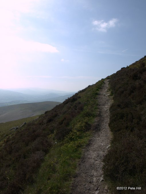
On the other side of the field, your path meets the track that comes up the Rholben on its way to the summit. Join this track and follow it to a stile. Just after the stile, take the right hand fork and begin the steep climb to the top.
6

Enjoy the view! If you brought provisions, have them on top on a nice day, or in the lee of east facing crag on a windy day. When you’re ready, head down from the Northeast corner to join the main track leading North East.
7

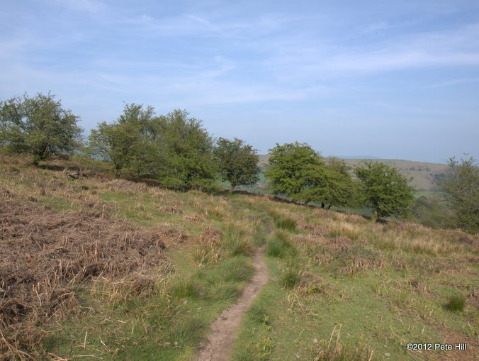
Follow this track, passing a few pools on the way. Eventually you will re-join your ascent path. Retrace your steps back to the car park.


How did you find the walk?
Can any of our directions be improved?

Got lost. Step 4 it seems there is more than 1 track in the woods, the landmarks of streams and gates downhill will agree though, leading you to think you are on the right track. We ended up halfway down the hill before turning around