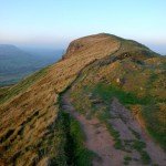
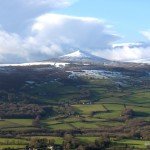
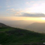
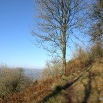
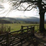
The walk may be a little strenuous in places, however the views are spectacular and, on a clear day, stretch as far as the Severn Estuary to the south-east and the Black Mountains to the west.
Length of walk: 3.5 miles
Time: Allow 2-3 hours
Go up the Ross Road (B4521), past Maindiff hospital and Wernddu Golf Club. Parking for The Skirrid is on the crest of the hill, on the left. A new car park (charges apply) on the Old Ross Road, (Abergavenny to Skenfrith) is the main access point onto the hill. From here, the path winds steeply up through Pant Skirrid Wood and out onto the ridge, with gentler slopes leading up to the summit.
Google Map Centred on the Car park
Directions
1
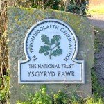
The start of the walk begins at the gate to a path, at one end of the layby, which is marked with a National Trust plaque. Follow this path, which takes you up a steady incline across the field.
2
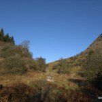
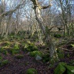
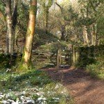
Go over the stile. If you’re already puffed, you can take a breather here on the conveniently located bench. At this point there is a vehicle track that goes left. You can follow this if you want a longer, but less steep ascent, but our route goes straight on up the footpath, through Caer Wood. The path has helpful wooden steps, but it is steep, and can be very slippy in the wet, so be careful.
3
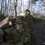
You will reach a wall with a gate. At this point any canine companions should go on a lead, as there are sheep grazing beyond. Go through the gate. The short route to the peak is to your right, however our route goes left and, you’ll be glad to hear, is relatively level. The path follows the stone wall, over a wooden walkway, and rounds the south end of the Skirrid.
4
Continue north along the path. You will go through some delightful woodland, with views of Sugarloaf to your left. Keep an eye out for the buzzards that glide around this area.
5
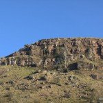
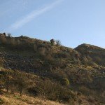
After about ¾ of a mile you will reach the landslip that gives the Skirrid its name. There are some steep drops to your left just before the landslip, so be careful if you are with children and dogs. The path goes between the peak and the detached portion, known as Little Billy. High up and to your right, you will see a toadstool shaped rock formation known as The Devils Table. The piles of boulders here aren’t very stable, so it’s best not to climb on them.
6
As the path rounds the northern end of the Skirrid, you have the option to head for the peak, up the (very steep) ridge. However, if it is wet, or your legs aren’t up to it, follow the path around until you are at the northeast corner.
7
From here, the path, which is more like a sheep track than a path and is not well marked, winds up the north-eastern flank of the mountain, and joins the ridge path just south of the peak.
8
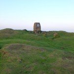
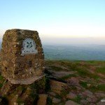
It can get very windy up here. Go right to view the ruins of an ancient chapel (two upright stones mark its entrance) and the triangulation point. When you are ready, head back south along the ridge.
9
Follow the ridge path to the southern end. Some steps and a stone pavement lead you back down into Caer Wood. When you arrive at the gate in the stone wall again, go through, and retrace your steps back to the car park.


